Launching May 1, 2026
Find the Trail.
We'll Get You There.
50+ curated Korean hiking trails with step-by-step transit directions — in English, Japanese, Chinese, and Russian.
50+ curated Korean hiking trails with step-by-step transit directions — in English, Japanese, Chinese, and Russian.
From gentle riverside walks to challenging mountain ridges — browse trails by difficulty, distance, and nearest station. Every route is verified and mapped.
Step-by-step subway and bus directions to every trail. No rental car, no Korean language skills, no guesswork — just follow the screen.
Full app experience in English, Japanese, Chinese, and Russian. Trail names, directions, safety info — everything translated, nothing lost.
How It Works
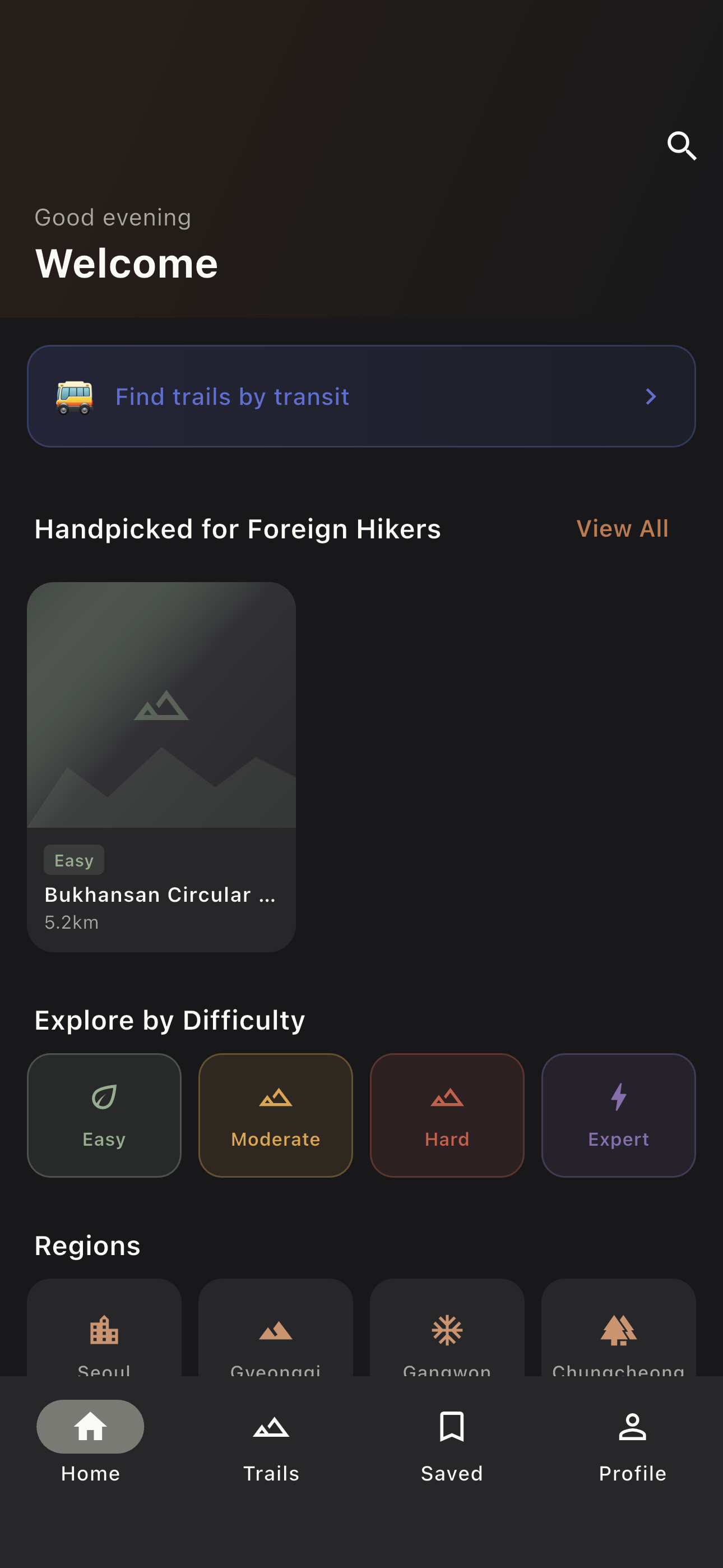
Browse 50+ trails by location, difficulty, or distance. Filter by what's near your hotel or station.
Tap a trail and get full transit directions — which subway line, which bus, where to transfer, all in your language.
Follow the step-by-step guide to the trailhead. Trail info, difficulty rating, and estimated time all at your fingertips.
App Preview
Browse by difficulty, region, and transit access.
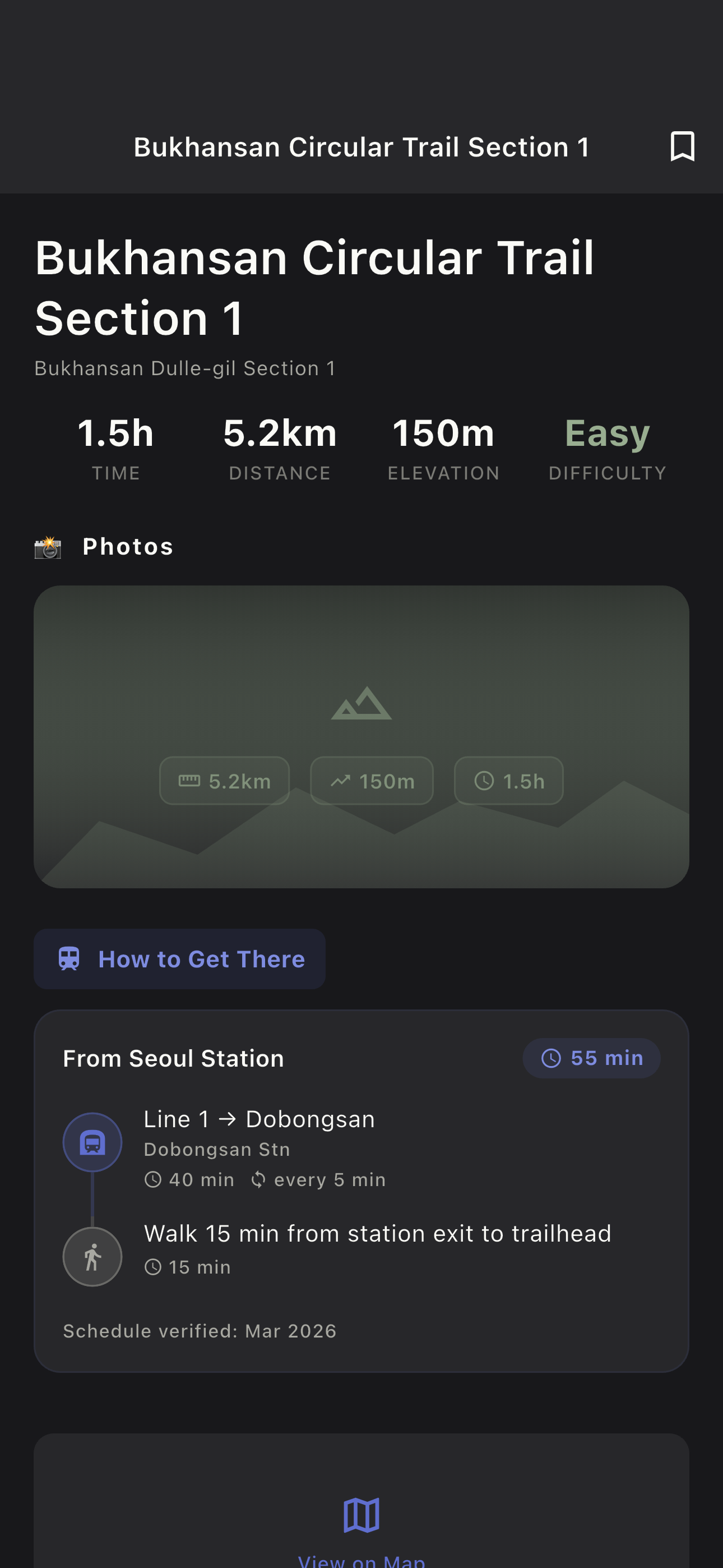
Stats, directions, tips — everything in one screen.
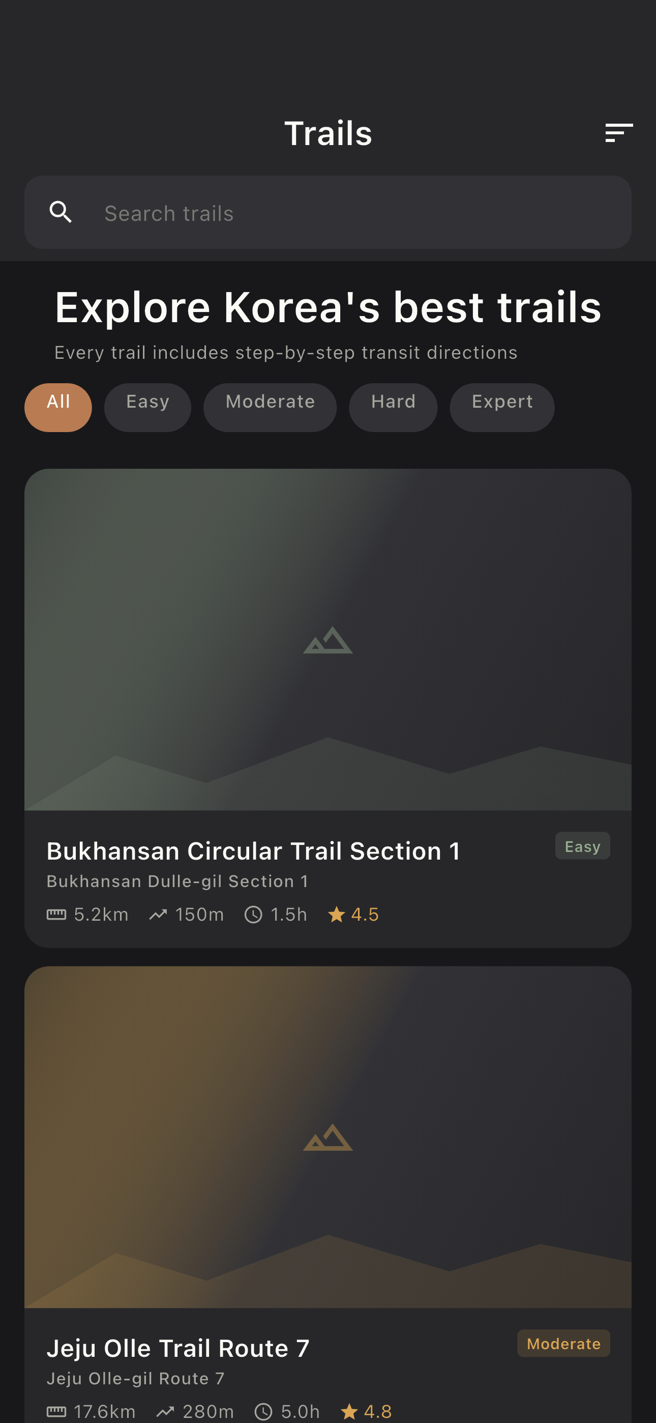
50+ trails. Search by name, filter by difficulty.
Launch Countdown
Download the app and start exploring Korea's trails today.
Get early access, an exclusive in-app Founding Hiker badge, and a voice in shaping what we build next.
No spam. Unsubscribe anytime.
We'll email you before launch day. Check your inbox.